
Terraformer Core
Documentation Get Core
Tools and objects for working with and transforming GeoJSON.
The core Terraformer library provides a series of Terraformer.Primitives which wrap GeoJSON objects for additional functionality and a series of Terraformer.Tools for manipulating and performing calculations on coordinates.
You can also use the core library to see if an object contains or intersects another object, convert an object to a different spatial reference, or transform an object’s coordinates.
The core library is also used in most other components of Terraformer for performing basic tasks and calculations.

GeoStore
Documentation Get GeoStore
A lightweight API that allows you to store, index and query geographic data.
GeoStore is a lightweight API that allows you to store, index and query geographic data with a variety of indexes and persistence methods. Each GeoStore consists of…
A spatial index which is responsible for indexing and optimizing the geographic data in the store.
A data store which is responsible for persisting data, either holding it in memory or persisting it to a backend database.
Any number of secondary indexes which index properties associated with your geographic data.
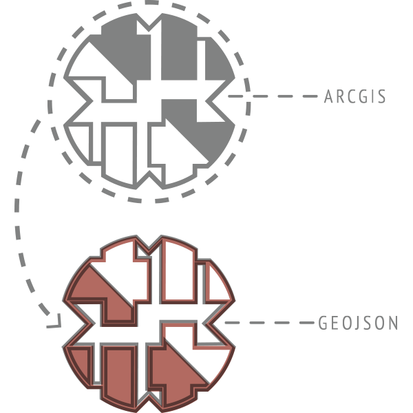
ArcGIS Parser
Documentation Get ArcGIS Parser
Allows you to convert between Terraformer Primitives or GeoJSON and the ArcGIS Geometry Objects.
// parse ArcGIS JSON, convert it to a Terraformer.Primitive
var primitive = Terraformer.ArcGIS.parse({
  x:"-122.6764",
  y:"45.5165",
  spatialReference: {
    wkid: 4326
  }
});

// take a Terraformer.Primitive or GeoJSON and convert it to ArcGIS JSON
var point = Terraformer.ArcGIS.convert({
  "type": "Point",
  "coordinates": [45.5165, -122.6764]
});
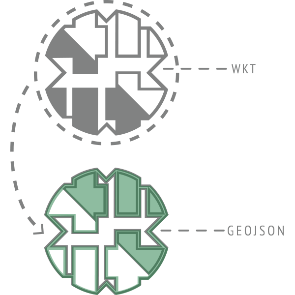
Well Known Text Parser
Documentation Get WKT Parser
Well Known Text is a format used by databases like PostGIS. With Terraformer’s WKT parser you can convert between this format and GeoJSON.
// parse a WKT file, convert it into a primitive
var primitive = Terraformer.WKT.parse('LINESTRING (30 10, 10 30, 40 40)');

// take a primitive and convert it into a WKT representation
var polygon = Terraformer.WKT.convert({
  "type": "Polygon",
  "coordinates": [
    [ [100.0, 0.0], [101.0, 0.0], [101.0, 1.0], [100.0, 1.0], [100.0, 0.0] ],
    [ [100.2, 0.2], [100.8, 0.2], [100.8, 0.8], [100.2, 0.8], [100.2, 0.2] ]
  ]
});